Rothaarsteig itinerary: 3 days, 152.1 km
3 primary stages in DE, with 2,494 m of total ascent.
DE · Primary stages · One stage per day
GPX download opens the planner. Sign in and save your plan before downloading.
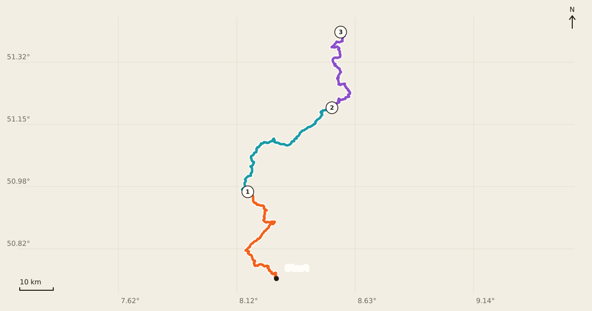
Your days on the trail
Distances and climb come from the official stage records. Walking estimates use the official stage times shown in the app, with a Naismith minimum: 5 km/h on flat ground plus 1 hour per 600 m of ascent. Missing stage times use that minimum. Times round up to whole minutes; allow extra time for breaks.
| Day | From → to | Distance | Ascent | Descent | Walking |
|---|---|---|---|---|---|
| 1 | Etappen 6-8 | 52.7 km | 1,006 m | 660 m | 12 h 14 min |
| 2 | Rothaarsteig | 55.7 km | 819 m | 736 m | 12 h 31 min |
| 3 | Etappen 1+2 | 43.7 km | 669 m | 882 m | 9 h 51 min |
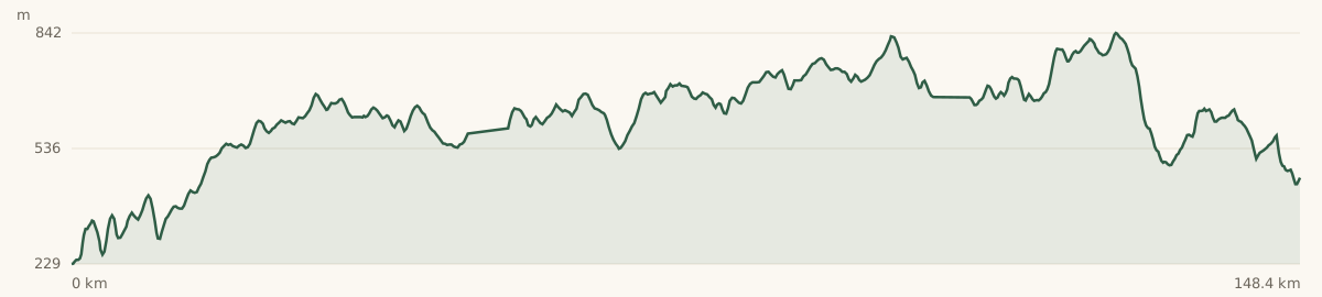
The ups and downs
Get it on your phone
Scan the QR to open the official trail in Outest.
Open in the Outest appIf you don’t have Outest, the link opens a page with download links.
To keep your changes, edit and save this plan first. Sign in to Outest with the same account to find it in Shelf → Planned routes.
Make it your route.
Move a stop, adjust a day, or keep the official stages.